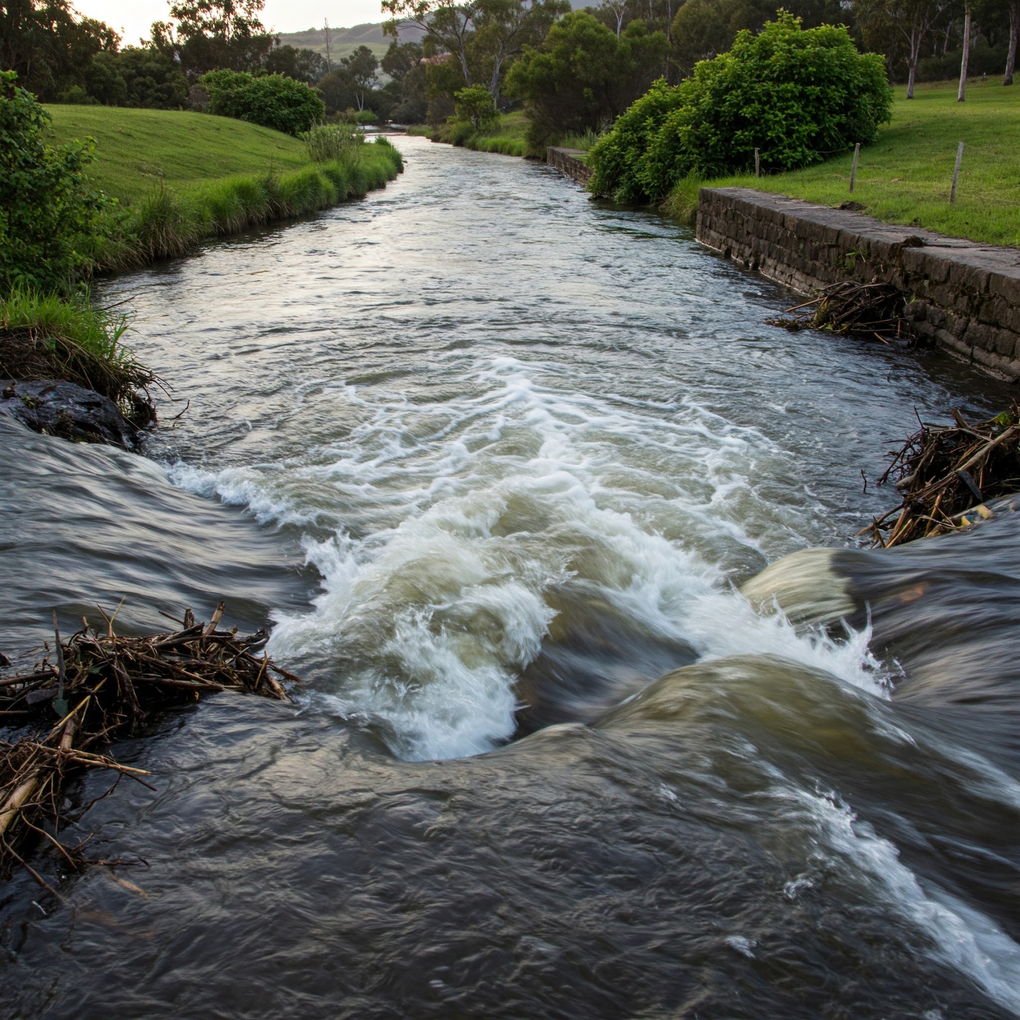
Peak discharge from drainage basin runoff is the maximum rate of flow of water passing a specific point in a drainage system, such as a stream channel, culvert, or watershed outlet, during a runoff event, typically caused by precipitation. This value represents the highest point on a hydrograph, which is the graphical relationship between discharge and time for a given storm event. It represents only the flow contribution from runoff that has traveled over the land surface, through gutters, ditches, or natural channels, and concentrated at the basin outlet, it does not include baseflow from groundwater or contributions from upstream areas outside the defined basin.
Peak Discharge from Drainage Basin Runoff Formula |
||
| \( Q \;=\; c \cdot i \cdot A \) | ||
| Symbol | English | Metric |
| \( Q \) = Vapor Mass Velocity of Tray Type Tower | \(cfm\) | - |
| \( c \) = Rational Method Runoff Coefficient | \(dimensionless\) | - |
| \( i \) = Rainfall Intensity | \(in\;/\;hr\) | - |
| \( A \) = Drainage Area | \(acre\) | - |
 Peak discharge is a critical design parameter because it governs the sizing and capacity requirements of hydraulic structures, including storm sewers, detention basins, spillways, bridges, and culverts. The magnitude of peak discharge is controlled by well-established watershed characteristics and rainfall properties, including rainfall intensity, duration, and distribution, as well as drainage basin area, shape, slope, soil type, land use, and antecedent moisture conditions. Faster runoff response caused by impervious surfaces, steep slopes, or saturated soils generally leads to a higher and earlier peak discharge, while storage effects such as infiltration, surface detention, and channel routing tend to attenuate (reduce) the peak.
Rational Method Runoff Coefficient |
|
| Ground Cover | Runoff Coefficient |
| Asphault Streets | 0.7 - 0.95 |
| Brick Streets | 0.7 - 0.85 |
| Buisness Areas | 0.5 - 0.95 |
| Concrete Streets | 0.7 - 0.95 |
| Cultivated Land | 0.08 - 0.41 |
| Forest | 0.05 - 0.25 |
| Industrial Area | 0.5 - 0.9 |
| Lawn | 0.05 - 0.35 |
| Meadow | 0.1 - 0.5 |
| Parks, Cemeteries | 0.1 - 0.25 |
| Pasture | 0.12 - 0.62 |
| Residential Area | 0.3 - 0.75 |
| Roofs | 0.75 - 0.95 |
| Unimproved Area | 0.1 - 0.3 |
![]()